interkriti®
YOUR GATEWAY TO CRETE
HOME
CRETE FACTS
NAVIGATE
EXPLORE

Agia Galini
Triopetra
Kissamos
Chryssi Isl.
Agia Marina
Balos
Gavdos isl.
Georgioupolis
SAMARIA
IDA Mtn
Palaiochora
Agia Roumeli
Sfakaki
Bali
Kalamaki
Matala
Lassithi
Plateau Lendas
Tsoutsouros
Vianos
Myrtos
Sfakia
Plakias
Ierapetra
Makrygialos
ZAKROS
Vai
Sitia
Agios Nikolaos
Elounda
MALIA
Hersonissos
Gouves
Chania
Rethymnon
Heraklion
GORTYN
FESTOS
KNOSSOS
|
|

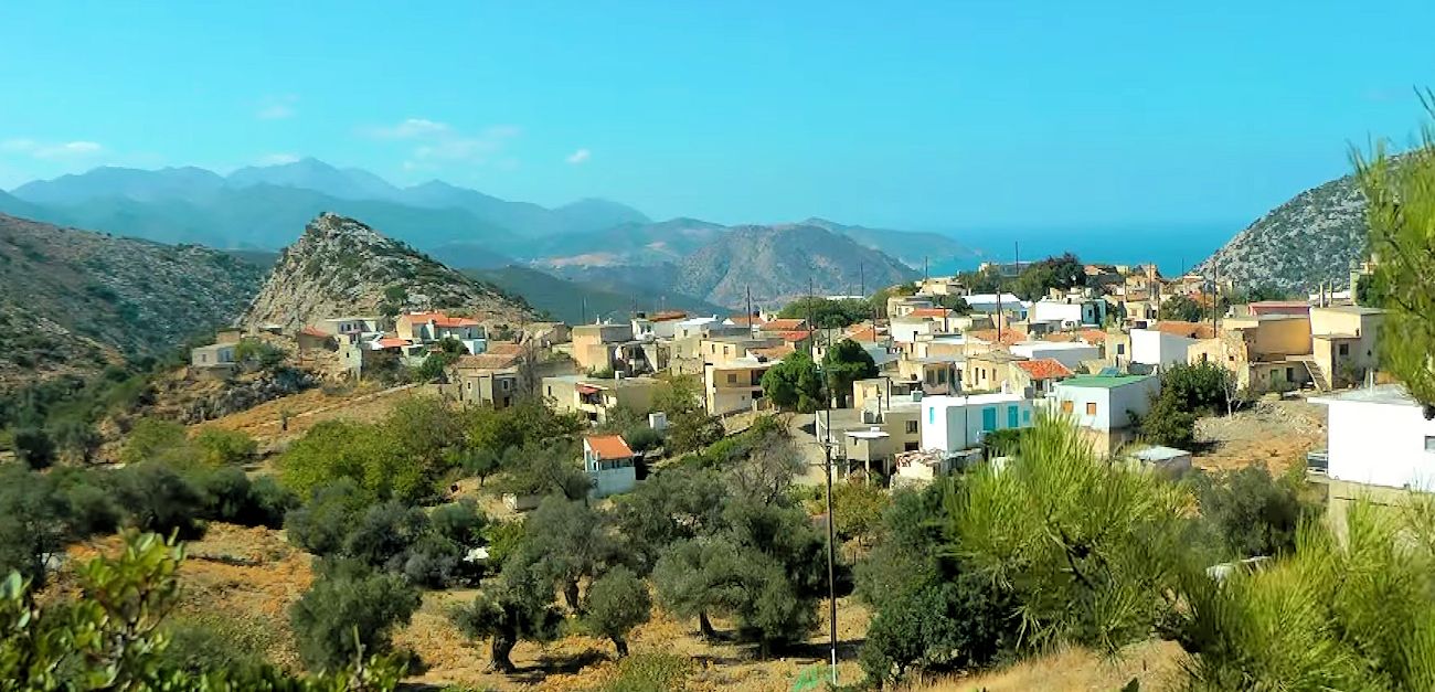 According to the records kept during the Venetian occupation, Ahlada was a feud belonging to two brothers (Georgios and Fragiskos Modinos) and had at the time 35 houses and 2 churches.Northeast of the village lie the ruins of another village, that used to belong to these brothers also, Kantinou. The inhabitants of that village together with other from neighboring settlements, were moved to Ahlada after the destruction of their villages from the Turks during the war of 1645- 1669)


