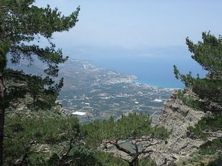
There now followed two 30-plus kilometer days aggravated by the fact that I wanted to summit each range that I passed through - even though there is no strict E4 requirement to do this. So, I set off from Orino by 7.00 am on the clearly marked dirt road which is the pass through the mountains towards the village of Thripti. It did seem to take for ever to reach the turn off for the vehicle road to the summit which is clearly marked (Afendis Stavromenos), but eventually I reached it and plodded up on the basis that if I missed this summit then I might always regret it. There was a curious incident with some sheep dogs that had to be called off but I finally arrived at the summit (unscathed). It was a clear morning and the 360° views were definitely worth it.
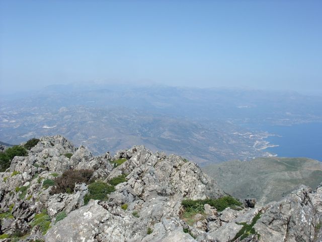
The fabulous view looking south east from the summit
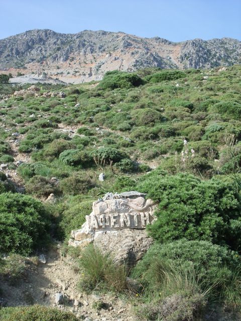
The stone signpost for the dirt road up to Thripti (Afendis Stavromenos
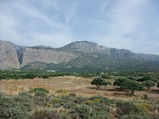
The footpath down the north west slope, as marked on the map, seemed an impossibility – the drop is sheer and surely not even goats use this descent ? After yesterday’s cross-country experience, I thought it would be prudent to ring Triantafyllos (Anavasi maps) for confirmation – it was his map after all. From his office in Athens he was able to confirm that he could see the path on his satellite pictures and that the starting point was exactly as marked on the GPS. So down I went – a bit loose and slippery but a path nevertheless and it got me safely down to the village of Thripti where I was able to take refreshments in a slightly surly kafeneion.
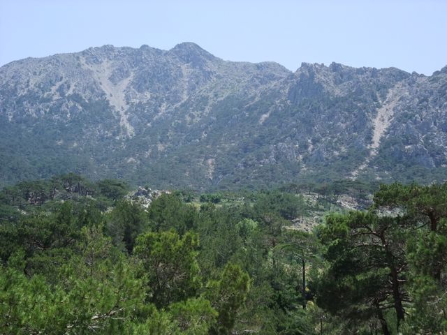
Looking back at the west face of Thripti
and the (not discernible) path down
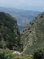
The Ha Gorge from above
From there, a labyrinth of dirt roads runs down the higher reaches of the Ha Gorge (some maps call it Monastiraki Gorge) through shady pine forests giving tantalising glimpses of the iconic slash in the rock wall. The signing here is intermittent but the main principle is to keep as close to the gorge as the roads permit. The GPS track is 100 % accurate here - and all the way down to Monastiraki. Eventually you are led off south westwards on a red spot marked path to gently descend the west facing rock wall before turning back north eastwards on a dirt road to Monastiraki where there is a very welcome, and welcoming, taverna.
The beautiful Gulf of Mirabello
|
It is a short walk across the “trench” south of Pachia Ammos to Vasiliki where I took on water at the public taps in preparation for an overnight camp somewhere on the road to Meseleri. Getting out of Vasiliki on the right road was the hardest part because neither GPS nor E4 signs were going to help. I could see from the paper map that I needed to be behind the small town on the uphill side to the west. When I asked advice about the right route for Meseleri, I was constantly advised to take the main roads as if I was going by car – which most people here probably would. The lesson is to ask for places much closer to the point of departure because in the course of conversation one man told me that the dirt road (which was looking promising) went as far as Metochi Asari - which was exactly on my route – bingo ! Off I set in the late afternoon sun and after 1 km came across an E4 sign – not a lot of help for finding the way out of Vasiliki, but reassuring nevertheless.
Looking back (east) towards the Ha Gorge
|
My diversion up Thripti earlier in the day meant I wasn’t going to reach my target of Meseleri before the legs gave up so I stopped just short of Asari on a flat pasture area at about 6.30 pm – my peaceful camp site for the night. (It is worth mentioning that, by and large, the locals do not seem concerned about campers in these remoter areas.)
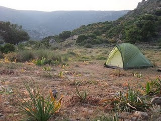
My campsite near Asari
|


