interkriti®
YOUR GATEWAY TO CRETE
|
Crete
List Grid Map
Found
255
- Showing :
241 - 255
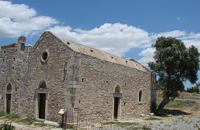 Phaistos Palace at 44.4km (SW) The church of Agios Georgios (St. George GR: Αγιος Γεώργιος) Phalandras stands a little to the south from the Palace of Phaistos on the road to Agios Ioannis village. The church was the monastery church of the Orthodox male monastery of the same name, dated to the early Venetian period (16th century), which operated normally until its dissolution in 1821. The ruins of the fortified building complex around the church were still visible until the first decades of the 20th century. Image Library
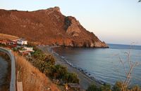 Iraklion South at 44.9km (SW) A long beach west of Lendas on the south shores of Iraklion. The name is probably a corruption of Dysikos (GR: Δυσικός) which is the one to the west. There is a small settlement with taverns and accommodation complexes, mostly rooms and apartments for rent. Dyskos used to be popular with nudists and nature lovers in the past and even in present days nudism is tolerated in the western part of the beach. The beach has small pebbles and sand. Those who chose Dyskos for their holidays will have, among other things, the chance to explore the area by small walking tours and enjoy the magnificent sunset.
Image Library
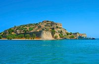 Elounda, Mirabello bay, Lassithi at 45km (E) The island of Spinalonga (Gr: Σπιναλόγκα), officially known as Kalydon (Καλυδών), is located in the Gulf of Elounda in north-eastern Crete, in Lasithi prefecture, next to the town of Elounda. The official Greek name of the island today is Kalydon. Originally, Spinalonga was not an island, it was part of the island of Crete. During Venetian occupation the island was carved out of the coast for defense purposes and a fort was built there. A popular name for the island since Venetian rule is Spinalonga. During Venetian rule, salt was harvested from salt pans around the island. The island has also been used as a leper colony. Spinalonga has appeared in novels, television series, and a short film.
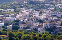 Ierapetra, Lassithi at 45km (E) Between OLEROS and OLERIA there is the village Meseleroi, which took its name from the ancient OLEROS. It is situated at 10 km in the north of Ierapetra at an altitude of 360 m. Ancient Oleros flourished during the classical times, to be conquered by thepowerful Ierapytna. Oleria was a place of worship for Oleria Athena, with its famous statue, venerated by the residents of Oleria and Ierapytna.  Archaeological Site in Messara, S-W Iraklion at 45.4km (SW) The "Royal Villa" at Ayia Triada which is situated very close to Phaistos, was built in about 1550 BC. i.e. just before the new palace at Phaistos, and was destroyed by fire in l450 BC, like all other important Minoan centres. It succeeded the first palace at Phaistos as the economic and administrative centre of the regions depriving the new palace there of this role, and appears to have had connections with Knossos. The two wings, with an open-air space between them, consisted of groups of interconnecting rooms (polythyra), storerooms and stairways. On the site of the ruins, a Mycenaean megaron, the so-called "Agora" and an open - air shrine were subsequently built. In the villa's disaster layer from the fire in 1450 BC, excavation revealed a valuable group of exceptional works of art, precious materials, records in Minoan script and seals. The famous black serpentine vessels, the "Harvesters' Vase", the "Boxers' Vase" and the "Chieftain ‘ s Cup", the wall paintings depicting the natural landscape, the sarcophagus, the bronze and clay figurines of worshipers and the copper ingots from the Treasury are among the most noteworthy findings.  Messara, Iraklion South at 46.3km (SW) Its 1000 years history comes to life for the visitor, who has the chance to admire its monuments, and old houses, perfectly preserved through the centuries. In the village square , you can sit and enjoy your coffee in the traditional coffee shop, while children can play in the playground next to the school. You can also visit the church of Agios Ioannis in the same square. There are quite few rooms for rent in the village and tavernas serving traditional Cretan dishes.
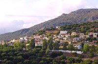 Ierapetra, Lassithi at 46.3km (SE) It is a small village, 7 km to the north of Ierapetra, at an altitude of 212 m. According to tradition, the village took its name from a large olive tree. It produced at least 10 sacks of olives and it provoked admiration by its size, and mostly by its height (Makrylia meaning tall olive tree). The village is old and traditional, with original Cretan style houses that have remained untouched over the time, in a beautiful and healthy environment, with a view of the overgrown with olive trees plain, with a rich history and hospitable residents.  Messara, Iraklion South at 46.8km (SW) Kamilari is a quiet, traditional village, with a panoramic view to the endless olive groves of the Messara valley on the one side, and to the Libyan sea on the other side. It has been inhabited since the Minoan period. One of the seven wise men of the ancient world, Epimenidis, a great wise man and a soothsayer, lived in a small community outside Kamilari, called Metohi.
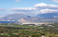 Messara, Iraklion South at 46.9km (W) The town of Timpaki (GR: Τυμπάκι) is located in the west edge of the plain of Messara, 65.3km away from the city of Iraklion. It is a rich and busy town with significant economic activity especially due to the early vegetables production in the wider area. There are banks, a post office, medical centers, stores, schools, hotels, restaurants, ect to cover both the needs of the locals and visitors.
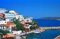 Rethymnon North coast at 47km (NW) Bali is a small fishing village, about 40 km west of Iraklion and 37km east of Rethymno easily accessed from the international road. It has a small picturesque harbour and lots of small coves with wonderful clear beaches. Recent years Bali has been developed to a popular tourist resort but it is still preserves its traditional character. Ideal place for family holidays, with small hotels and lovely taverns serving fresh fish and local specialties. 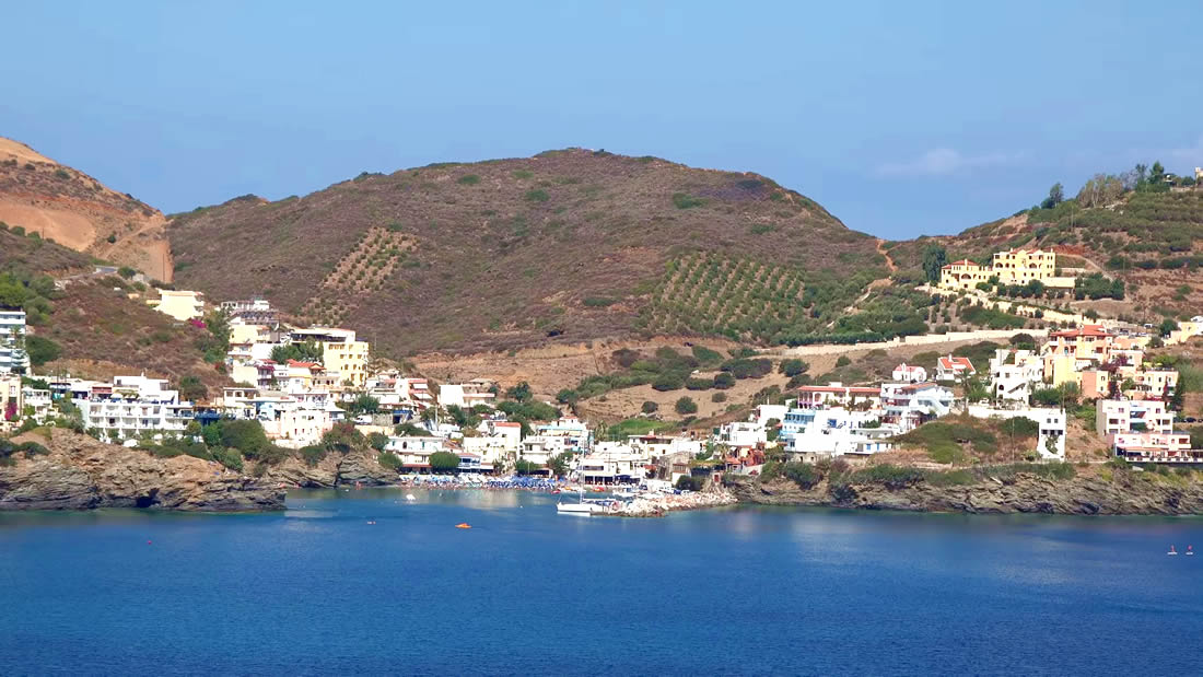 The Venetians called the place "Atali", from its ancient name which was "Astali", while its current name was given by the Ottomans. There is also the Atali Monastery nearby, which retains the medieval name of the place and is dedicated to Saint John. The monastery is built on a small elevated peninsula overlooking the bay and the Cretan sea. Image Library
 Amari, Rethymnon at 47.3km (W) The village of Apodoulou is located 55 km from Rethimno at an altitude of 450m. Remains of an extensive centre of the Old Palace period (1950-1700 B.C.) have been uncovered.at the site called Gournes, near the village of Apodoulou, at the west foot of Psiloreitis. The site dominates the Amari valley and controls the main route to the Messara plain. Excavations have brought to light three building complexes while tholos tombs of the Postpalatial period (1380-1200 B.C.) have also been located in the adjacent area. The first excavations on the site were carried out by S. Marinatos in the 1930's. During World War II it was excavated by the German Archaeological Institute, under the direction of E. Kirsten. Since 1985, systematic excavations have been carried out by the Greek Ministry of Culture in collaboration with the University of Naples. The most important monuments on the site are: Building A. It lies on the east side of the hill, to the south of the massive retaining wall. It had two storeys, as is indicated by the two preserved steps of a staircase. Decades of pithoi and other vases found on the ground floor suggest that it was used for storage. The house was destroyed by fire which followed an earthquake. Building B, located to the north of the retaining wall. It is a complex of rooms which originally communicated with Building A. Building C. It lies to the east of house A and belongs to a later phase of the settlement. Tholos tomb at Sopatakia. Tholos tomb with dromos, lying to the east of the road that leads from Apodoulou to Nithavris. The dromos is 7 m. long and the chamber has a diameter of 3.10 m. Three larnakes were found inside the burial chamber. Dated to 1380-1200 B.C. Source: The Hellenic Ministry of Culture  Messara, Iraklion South at 48.5km (SW) The village of Pitsidia is located 65 km southwest of Iraklion at an altitude of 80 m a.s.l, just before the magnificent bay of Messara. The village with aproximately 700 inhabitants is the oldest village of the area and is refered (by S. Spanakis) that it was the place where the soldiers of Nikiforos Fokas, commander of the Byzantine army, settled. The army, famous for its bravery, came from Pisidia of the south Asia Minor, and this is probably the origin of the name Pitsidia.
Image Library
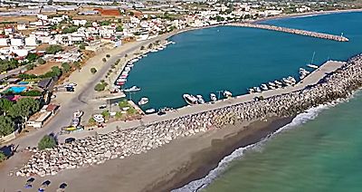 Messara bay, Iraklion South at 49.2km (W) Kokkinos Pirgos (GR: Κόκκινος Πύργος) is a small coastal community, 2km away from Timbaki with a nice, long sandy beach, one of the longest in Crete, and a clear transparent sea. The part of the beach to the north west of the harbour is called Makrimaliana (or Kakoskalo) and the south east part of it is called Katalyki . The harbour in front of the village of Kokkinos Pirgos, offers docking facilities for sailing and fishing boats. There are hotels, restaurants, bars, etc. across the harbour and along the beach. You can always find good fresh fish in the taverns of the village. Kokkinos Pirgos (meaning red tower) , took its name from a castle that use to be there during the Middle Ages, which was built by red clay earth.
Image Library
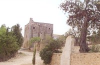 Messara plain, South - East Iraklion at 49.6km (SW) The monastery of Odigitria is a monastery of great importance and historical value and one of the oldest in Crete. It is located at the west edge of the Asterousia mountains at an altitude of 250 m. The monastery was surrounded by walls, part of them still stands. The temple of the monastery is dedicated to the assumption of Holly-Mother and to the Saint Apostles (Peter & Paul). Inside the temple there are valuable frescoes, icons of famous painters and iconostasis. The monastery is connected with the legendary freedom fighter 'Ksopateras' (1788 - 1828) In the area of the monastery at Agioi Eftihianoi was found an ancient (Early Minoan) cemetery. 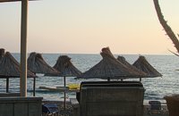 Messara bay, Iraklion South at 49.7km (SW) A small coastal village with a long sandy beach is becoming very popular with tourists due both its natural beauty and its proximity to Phaistos, Gortys and other important sites. There are quite few hotels, apartments etc and taverns, cafes by the beach.
|
||
|
| ||
C
O
N
T
E
N
T
S
O
N
T
E
N
T
S


